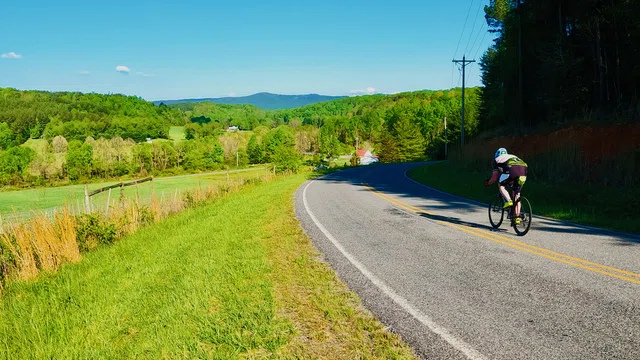
Rockford Connector
click the drawer icon to navigate map
Rockford Connector
Rockford, NC
12.5 miles
Intermediate
Stats
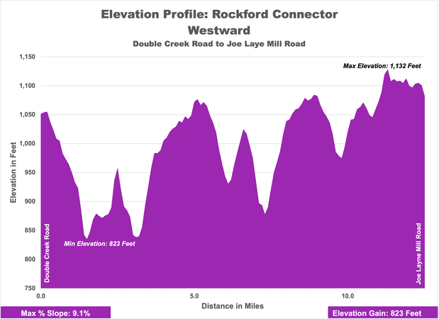
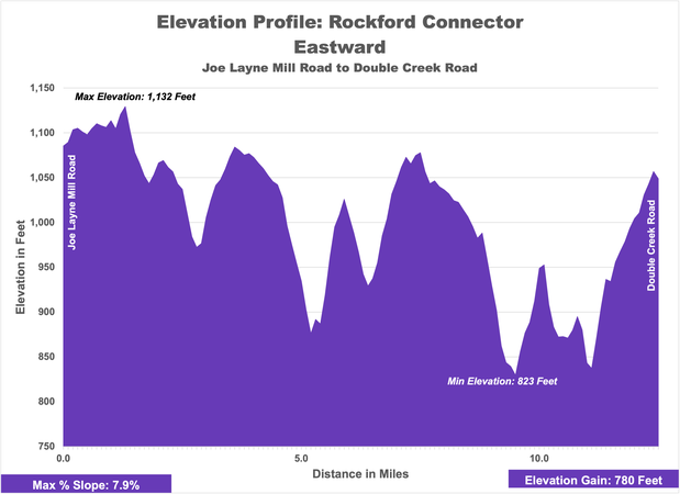
1,132 ft.
823 ft.
823
780
9.1%
7.9%
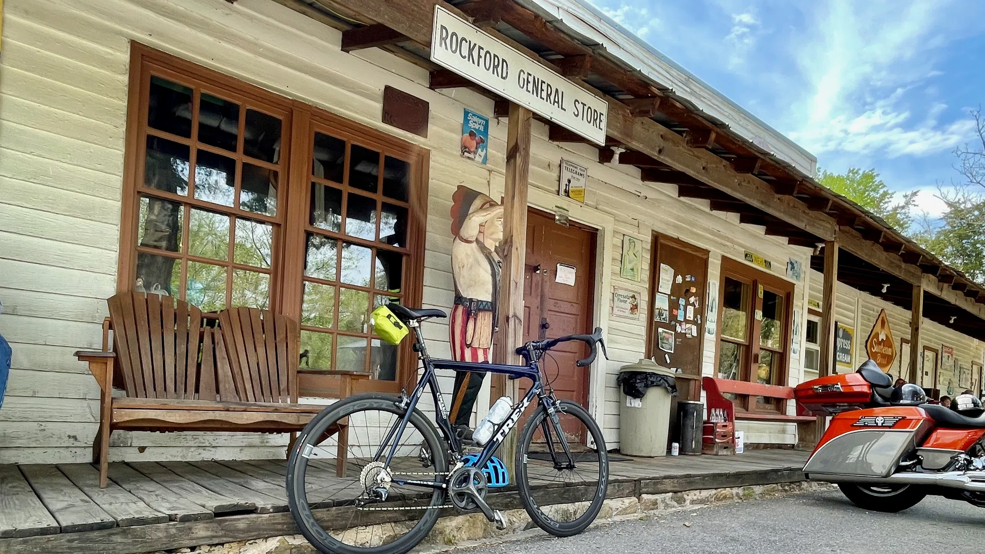
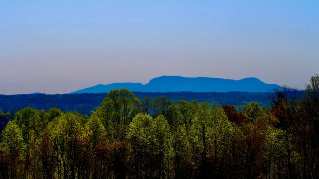
Use this connector to discover the Historic Village of Rockford, located along the Yadkin River. Once the seat of government for Surry County, the county then encompassed modern day Forsyth, Stokes, and Yadkin counties. A number of historical buildings can be explored, such as the Rockford General Store, a canoe and kayak outfitter, a North Carolina Civil War Trail site, the Rockford Inn, Rockford Park, and the old Rockford Methodist Church.
Connected Loops
Directions
Rockford Connector - Directions - WestDirections
Rockford Connector - Directions - East
Points of Interest
Rockford Historic District
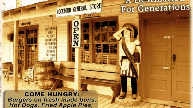
Stop Along the Way
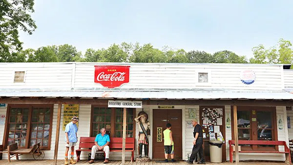
Provisions
Lunch
Dobson
Rockford General Store

Food & Drink
Winery
Dobson
Rayson Winery and Vineyard
Looking for more?
Check out more Loops